INTRODUCTION
TO RIVERS AND
LAND MANAGEMENT SECTION
The phrase ‘Land Management’
means to control an area of land deliberately, making decisions
about how the land should be cared for. In the British Isles there
are no areas of land that have escaped land management. Fisheries
depend on the quality of the water in rivers and streams and good
or bad land management can have a big affect on the state of nearby
watercourses.
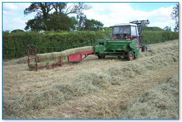
|
Small bales of
hay made traditionally |
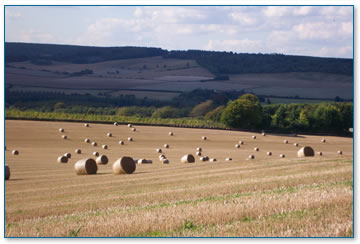
|
Modern farming
- large round bales of straw |
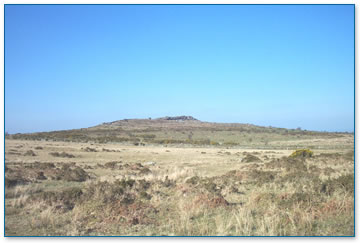
Humans have been managing the
land for thousands of years to grow crops, keep animals and influence
natural processes to their advantage. Even areas, which you might
consider ‘natural’ have been managed, like Dartmoor
and Bodmin Moor. These moorlands for example would have had many
more trees growing on them than is the case today (website Moor
Trees).
If all land is managed then it
is up to those who manage it to make responsible decisions that
will not have a negative impact on the environment. Land management
decisions can have a very good impact on wildlife and water quality.
Therefore it is important when people make choices about how to
manage land, whether that it at home in the garden, on a farm or
at school for example, that they know what effect their choices
will have.
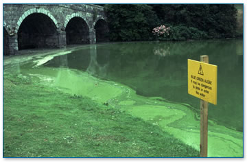
|
Blue green algae
- Eutrophication, the prolific growth of algae in summer months |
In this section the way
that land is managed will be explored in greater detail. There are
a number of ways that: farmers; industrialists; school teachers;
and the general public (that’s you!) can make changes to the
way land is managed. Through management Cornish rivers and streams
as well as the fisheries and everything that relies on water to
live (that’s every living thing on the planet!) will be helped.
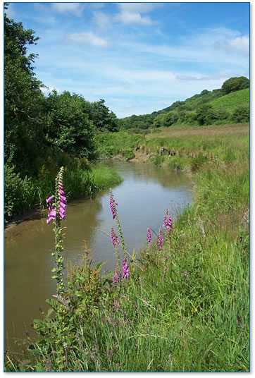 |
Well managed Cornish
river |
|